
Flooding in South Africa
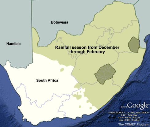
South Africa receives rainfall from cold fronts and other mid-latitude weather systems as well as tropically sourced moisture and resultant precipitation during the Southern Hemispheric summer months (October to March).
The central and northern parts of South Africa (the summer rainfall region) can receive up to 30% of their October to December rainfall totals and 60% of their January rainfall total from tropical temperate troughs alone, making them the single most important system for rainfall contribution for this region. For more information on tropical temperate troughs, access the COMET module Introduction to Tropical Meteorology at http://www.meted.ucar.edu/tropical/textbook_2nd_edition/navmenu.php .
The South African Weather Service (SAWS) issues now-casts for flash flooding and localized flooding along with heavy rainfall warnings when more than 50 mm of rainfall are expected over a 24-hour period. Early warnings for flash flooding are issued as heavy rainfall warnings with “the potential for flash flooding.” These forecasts are based on real-time satellite and radar imagery along with numerical weather prediction (NWP) model forecasts. Until recently, they did not include information about the actual state of river basins or areas prone to flash flooding. But SAWS and the National Disaster Management Centre (NDMC) are now operating South Africa’s first operational flash flood warning system, known as the South African Flash Flood Guidance (SAFFG) system. The system incorporates meteorological and hydrological data and lets SAWS issue flash flood warnings to disaster management structures and the public.