
About the Case
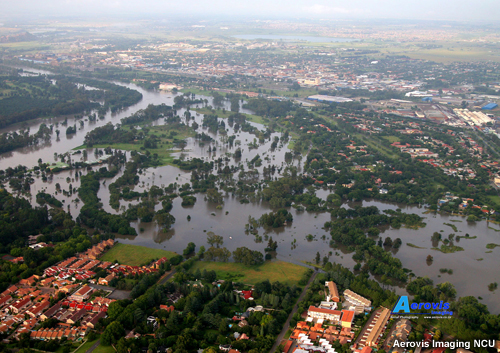
The case covers the flooding of South Africa’s Vaal Dam during the 2009/2010 summer rainfall season. As you will see, the extensive flooding resulted from the accumulation of rainfall over the catchment area, rather than a single weather event. The seasonal forecast had, in fact, predicted an El Niño event, which usually results in below-average rainfall amounts for the summer rainfall region. But almost all of the rainfall areas across South Africa recorded near-normal or above-normal rainfall from November 2009 through January 2010.
Before we begin the case, review this background information about the Vaal Dam.
The Vaal Dam lies on the Vaal River, one of South Africa's strongest-flowing rivers. The reservoir behind the dam covers an area over three hundred square kilometers and is South Africa's largest by area and third largest by volume. It lies in the Vaal Dam catchment, which is divided into the Upper Vaal, Middle Vaal, and Lower Vaal catchment regions. The Middle and Lower regions occur below the level of the dam wall and will not be considered in the case.
The Vaal River is the largest tributary of the Orange River and has its source in the Drakensberg Mountains in Mpumalanga east of Johannesburg (about 30 km north of Ermelo). The river then flows westwards to its junction with the Orange River southwest of Kimberley in the Northern Cape. The Vaal River is 1120 km in length and forms the border between the Mpumalanga, Gauteng, and the North West provinces on its north bank and the Free State on its south.
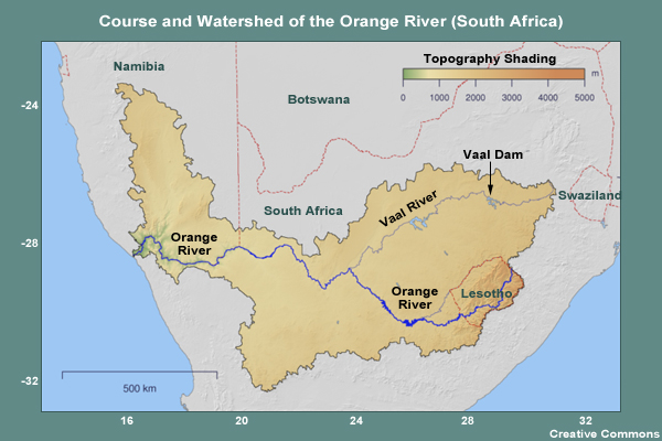
The Vaal Dam is a vital part of the water supply system for the Gauteng region. Water for the dam is supplied by the Vaal and Wilge Rivers. We will focus on the Vaal River inflow, which is in the Vaal River catchment area in the Mpumalanga Province.